DEVELOP THE METHODOLOGY FOR THE USE OF MATHEMATICAL MODELING, GIS AND REMOTE SENSING TECHNIQUES FOR SOLVING URGENT HYDROGEOLOGICAL PROBLEMS IN THE REPUBLIC OF KAZAKHSTAN

Develop the methodology for assessing the negative impact of irrigation on the environment with the use of remote sensing and GIS technologies in the Republic of Kazakhstan

3. Programming means, usable for the irrigation impact estimation on the environment

ERDAS Imagine 9.1 1 represents itself as fully functional raster-vector GIS for the work with data of remote sensing (http://www.erdas.com/). It is used at the field of environment preservation, military applications, geology, geophysics, cadastres, forestry, telecommunications, engineering communications, oceanology, a.o.

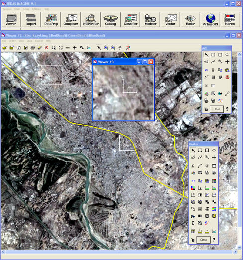
ERDAS Imagine 9.1 – set of means of visual programming, images processing, and their classification. Company ERDAS has developed for the production of the new functions, the special additional models – module of three-dimensional visualization and analysis, module for aerophotoimages processing and production of relief model; module for work with images in stereoregime, module realizing specific method of images classification, which is directed onto the solution of the many objects mixing problem at the limits of one pixel. It is also included at system composition the programmer's instrument, allowing to supply ERDAS Imagine 9.1 with any necessary functions.

Previous chapter

[Home] [Contents] [Links] [Authors]

Next chapter

Previous

Next